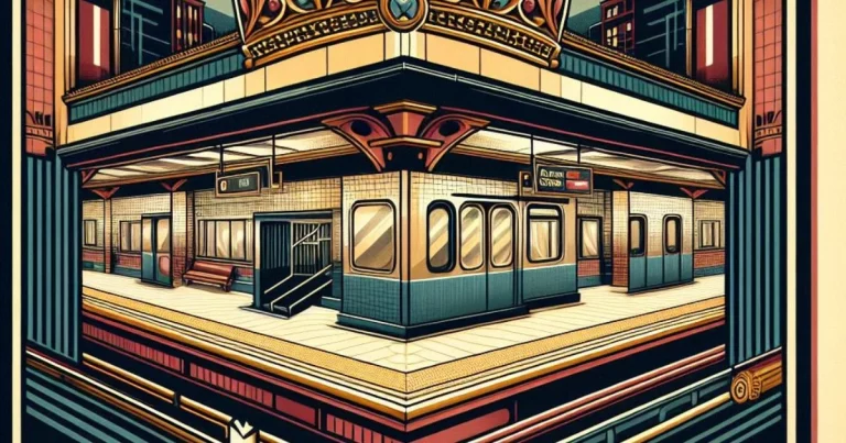
Dupont Subway Station Toronto | Map, Schedule and Map
Dupont station serves as a key transit point on Toronto’s Line 1 Yonge-University. Situated at the intersection of Spadina Road and Dupont Street in the Annex neighborhood, the station opened in 1978. It offers convenient access to the surrounding area and boasts unique artistic features within its walls, making it a noteworthy stop on the…